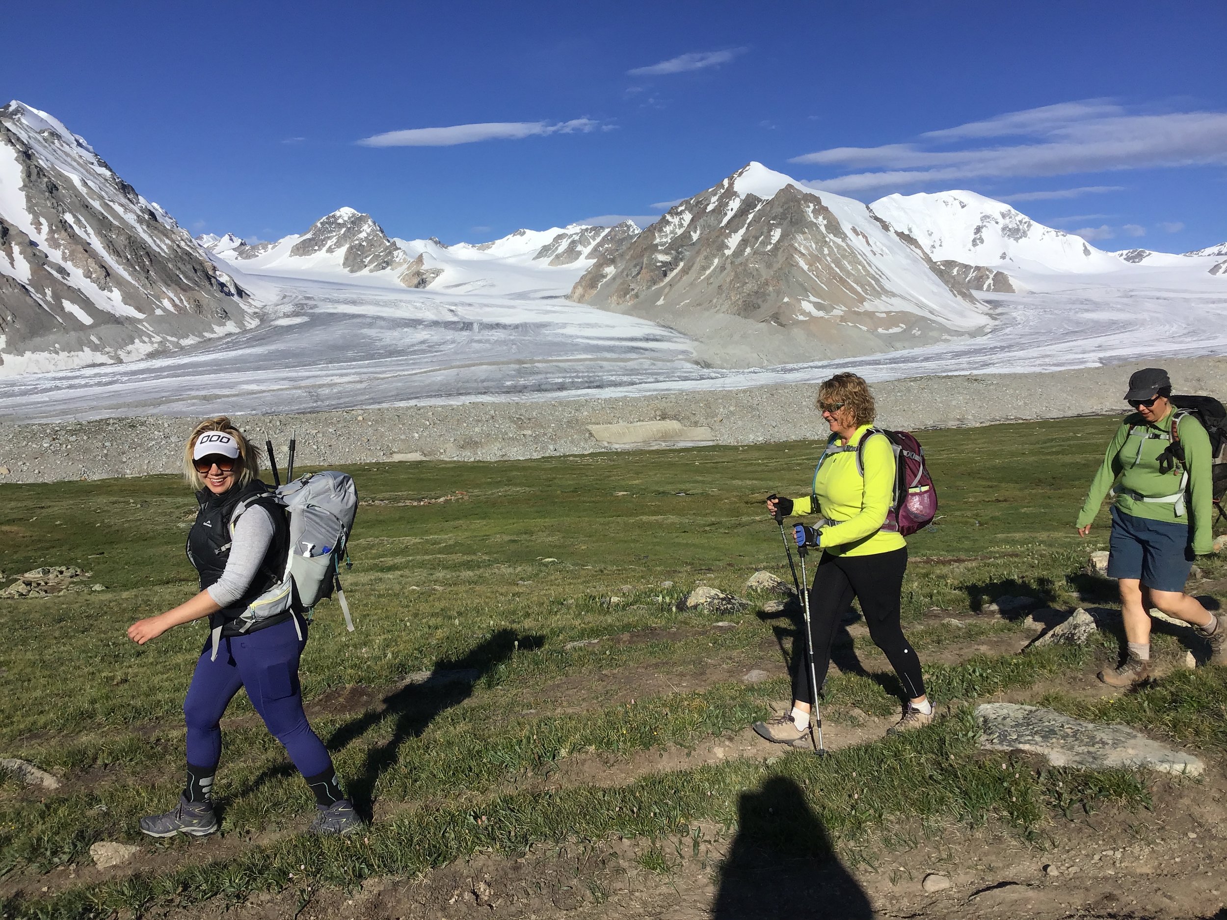
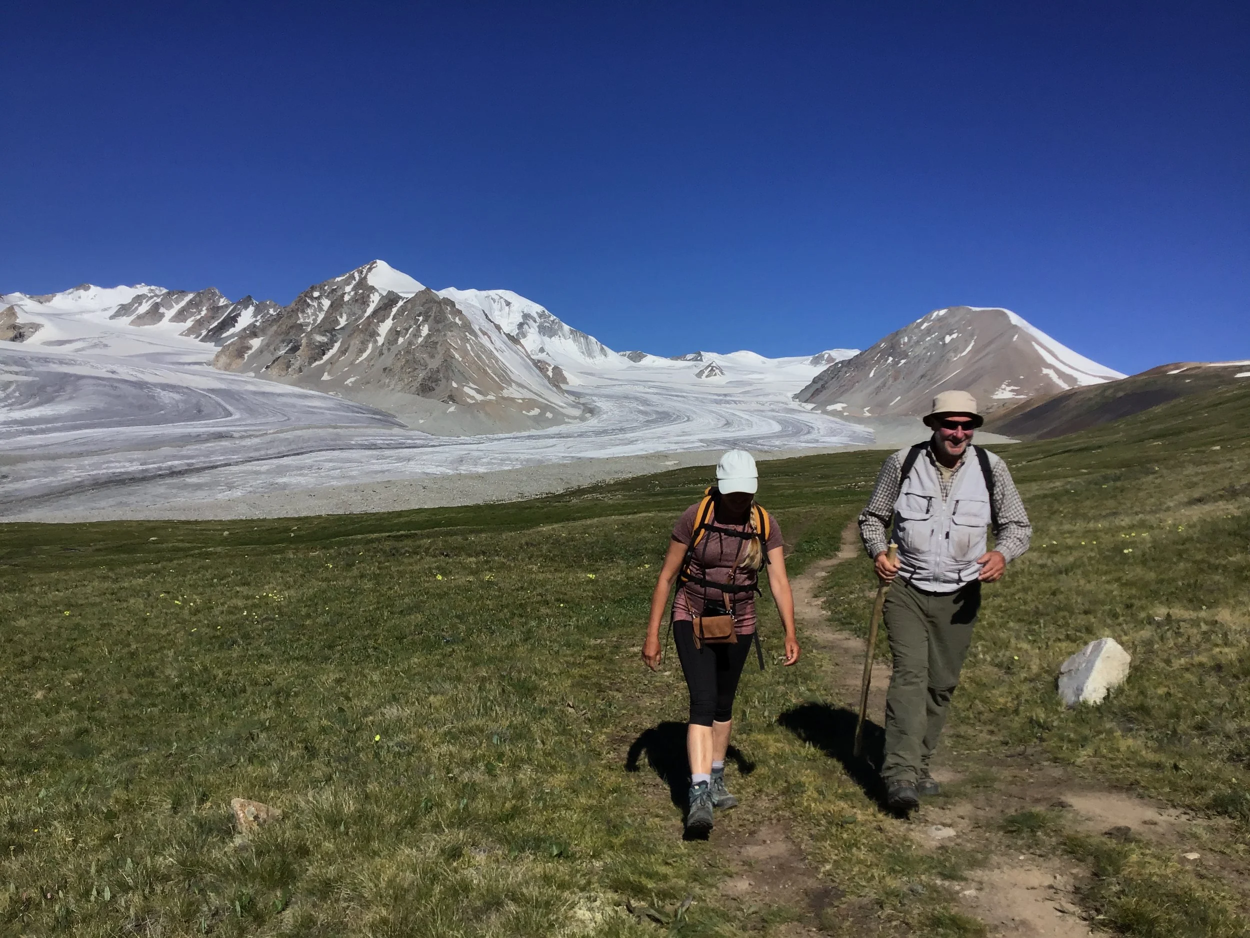
The skies are almost always blue, the landscape is breathtakingly stunning & the wilderness unspoilt - Mongolia is a walker's paradise & a perfect setting for exploration & self-discovery.
Since 2015 I have been travelling to the Tavan Bogd National Park, approximately 1,700 km from Ulaan Baatar (UB), Mongolia’s capital, and home to the Mongolian section of the Altai Mountains.
In summer, many Tuvan and Kazakh nomadic herders bring their animals to graze in its pastures. It is an idyllic place to spend day after day walking immersed in unspoilt and remote wilderness with waterfalls, streams, glaciers and Mongolia’s tallest peaks.
The journey to the Tavan Bogd National Park starts in Ulgii, a town of about 30,000 people - mostly Kazakh muslims - in the western province of Bayan-Ulgii.
DAY 1
We leave Ulgii from the northwest end of the town, past the airport where the bitumen road ends and almost seamlessly veers slightly to the left and onto a dirt track. Most of Mongolia road travel takes place along this colossal network of dirt roads and paths on which you rarely see a post or sign for directions.
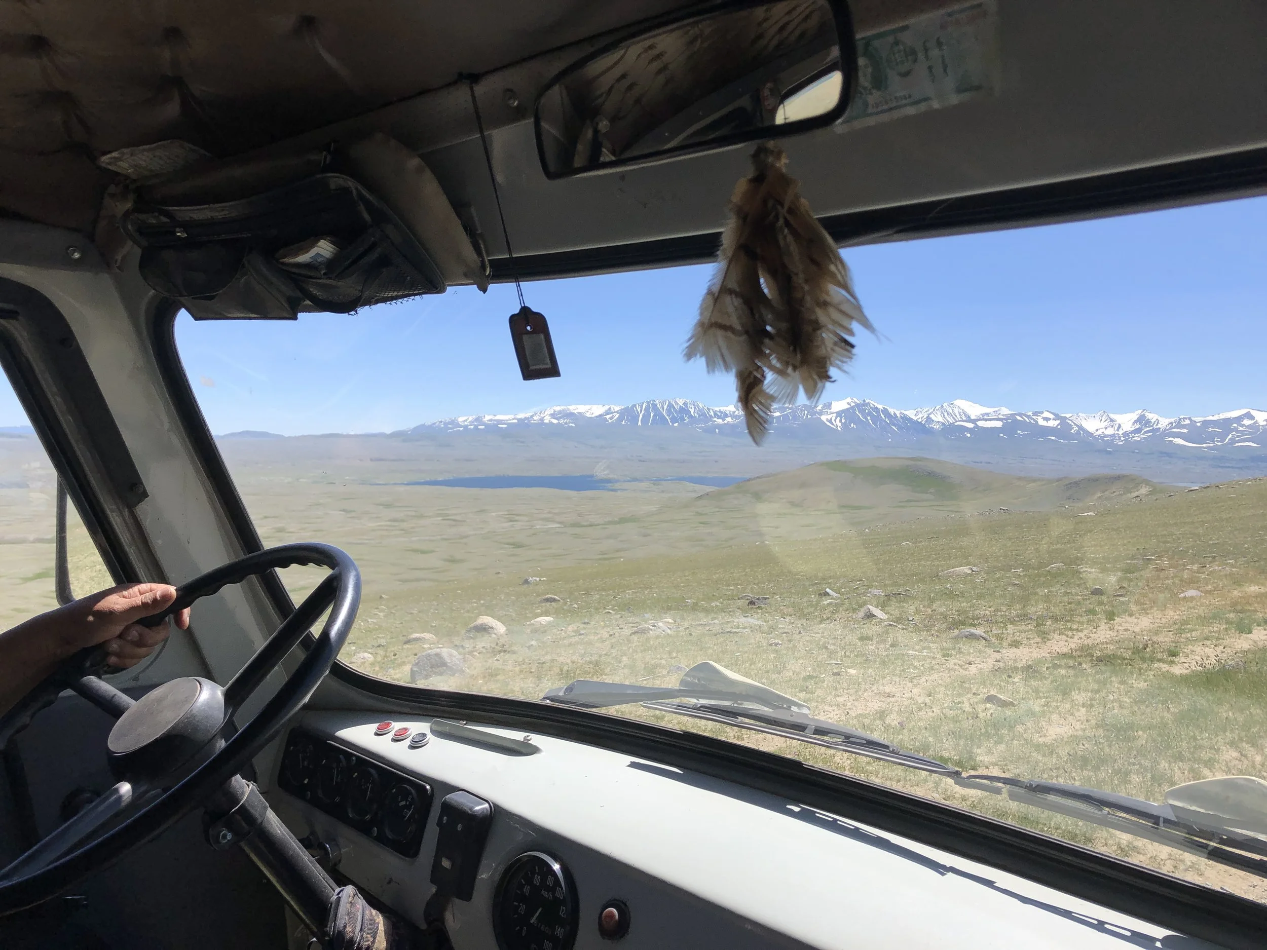
It is an exciting, bumpy ride inside the Russian furgon (like a 4WD Combi van), coasting down the side of hills; bouncing and sliding on the felt seat covers, slowing down often to let the herds of sheep or goats scatter around us, and let us through.
All around the views are expansive. Long stretches of undulating grassy green hills with yaks, horses, goats and sheep grazing in herds. In the horizon snow-peaked mountains, beside us rushing rivers and creeks whose crossings require skilled 4WD action over uneven, pebbled banks; above us, endless skies.
The 150 km between Ulgii and the National Park takes about 5 to 6 hours and we arrive at the southern entry (only 12 km from the border with China).
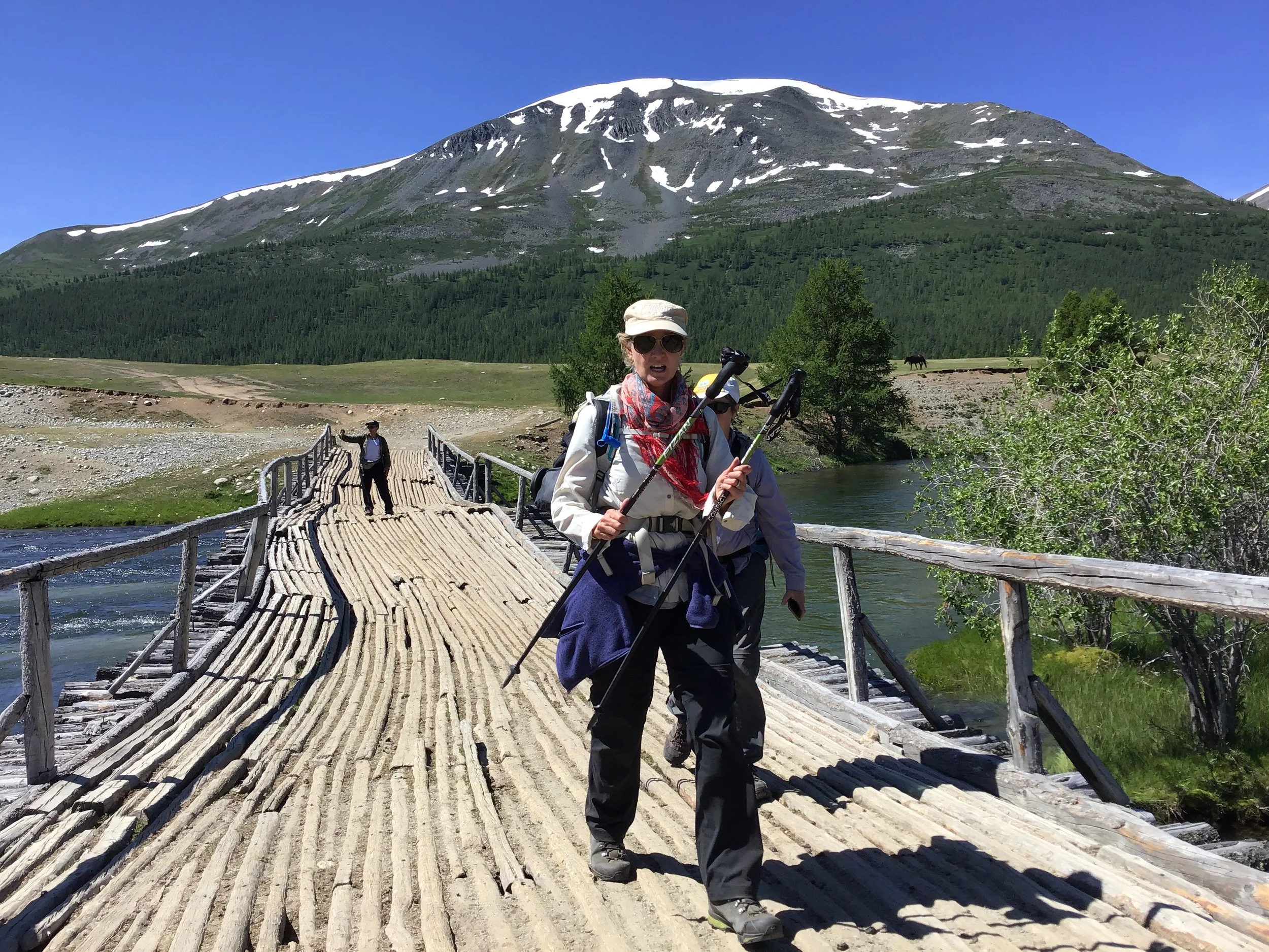
Our hike starts here, with a bridge crossing over the southern-most end of Khoton Lake at about 2,000 metres above sea level.
Because the National Park is found at such proximity to the borders with both China and Russia, there are a number of check points with local rangers. Just past the bridge to the south is the first check-point. Permits and passports need to be shown to the military guard there - they also check that you are travelling with a local guide.
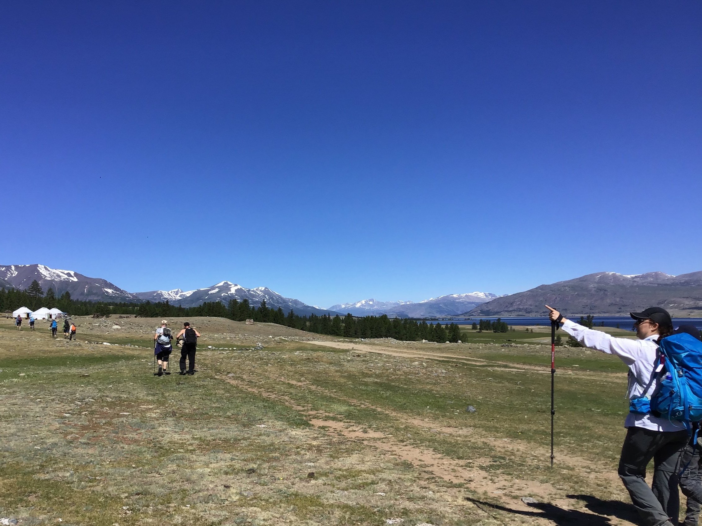
After sitting in the van for half the day it is great to finally start walking, Khoton lake on the right, China not far on our left and all around scattered larch trees and remaining trunks, hacked, evidence of significant clearing, probably for firewood.
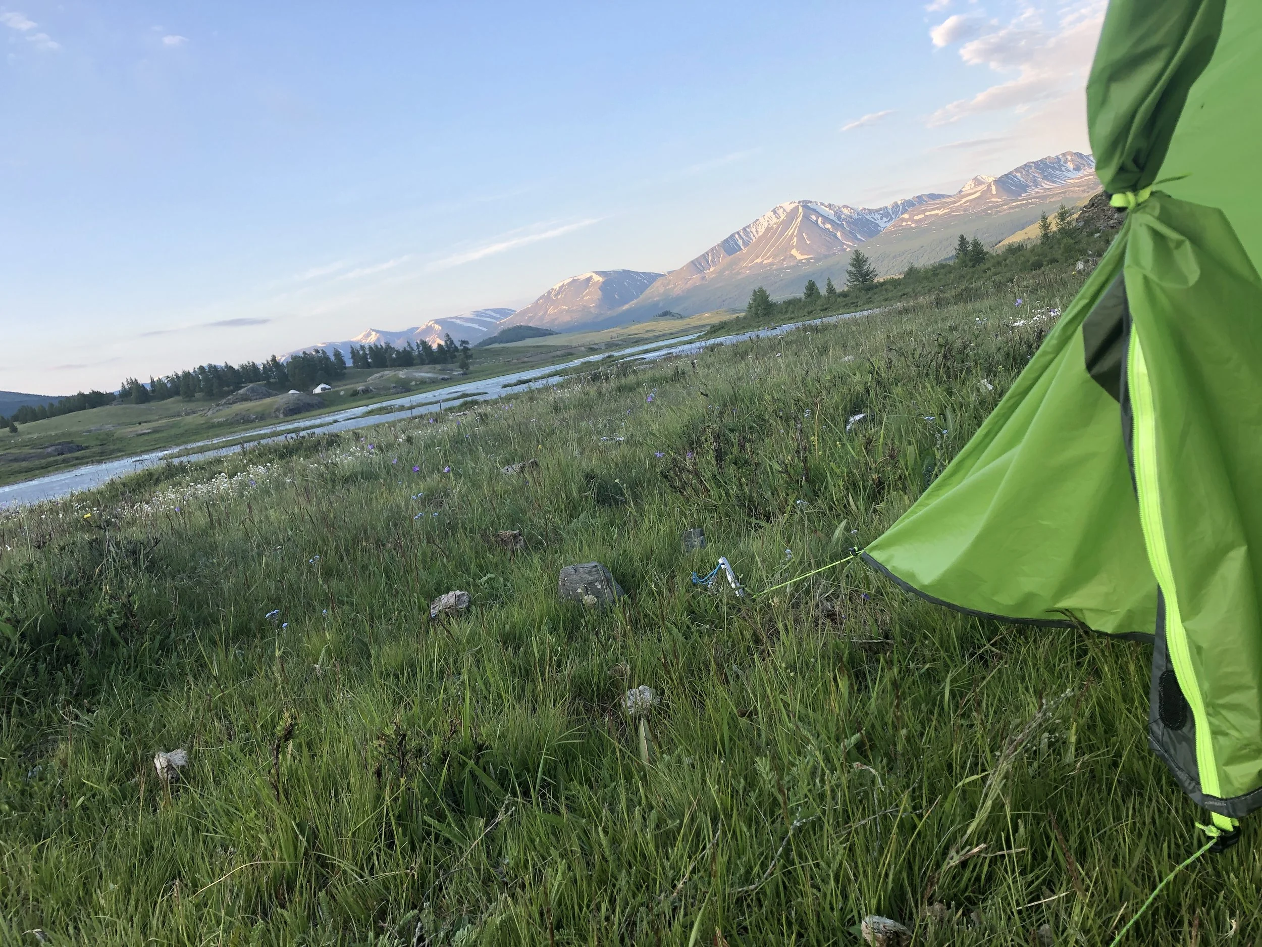
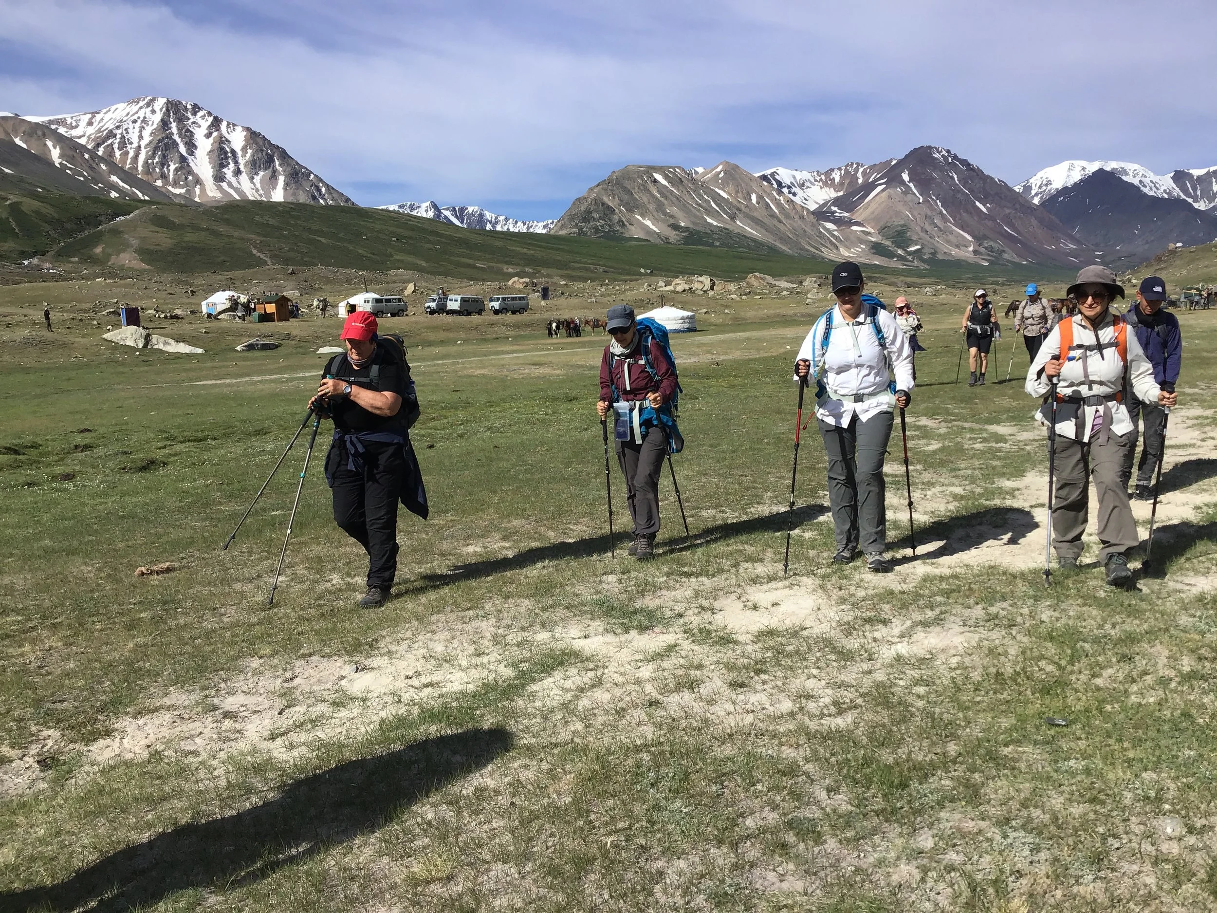
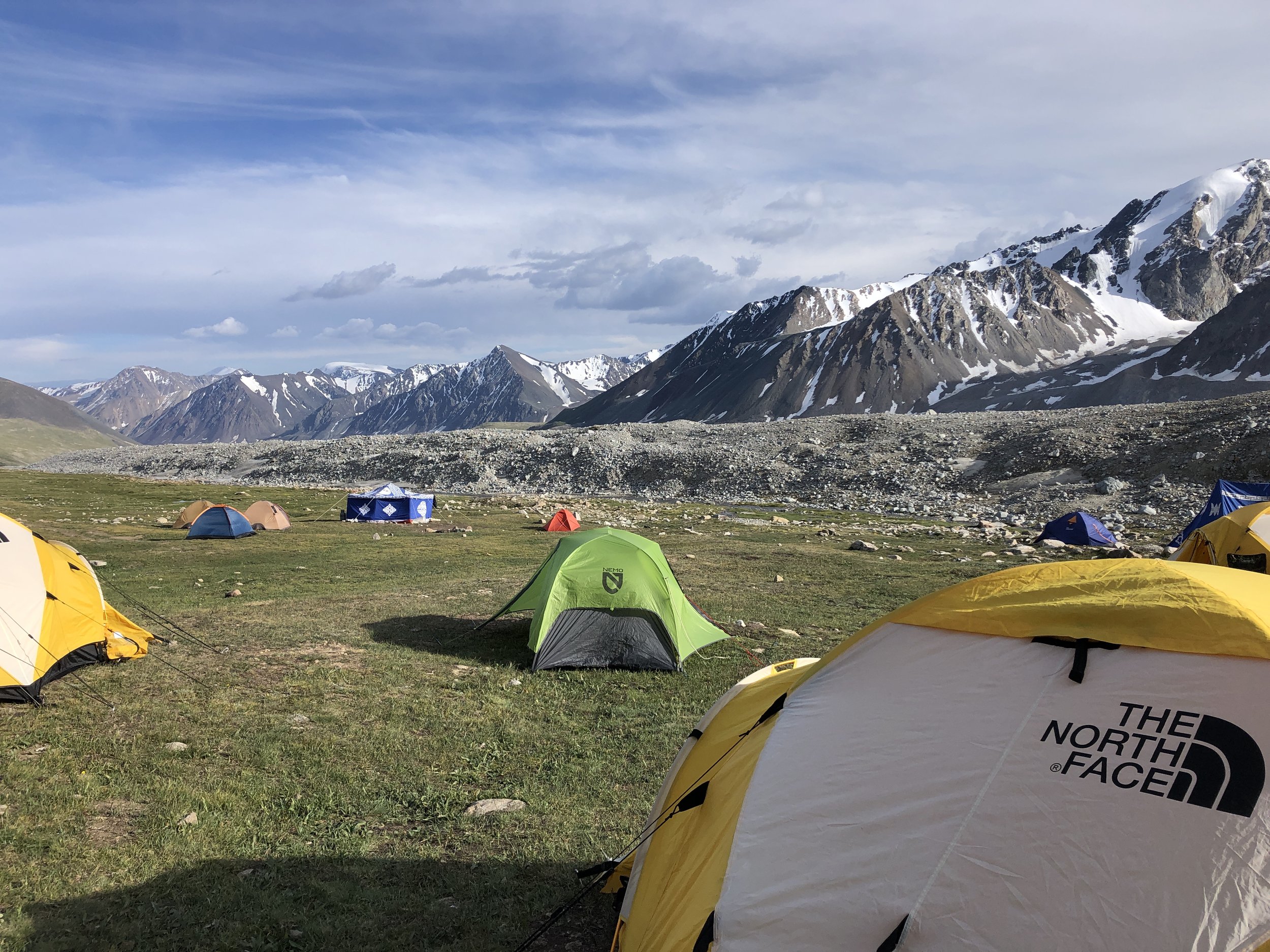
What is most remarkable about hiking through this wilderness is that camp can be set up anywhere. Most of the time we walk for 8 - 10 km on day one and find a grassy patch, free of twigs and rocks, near the lake’s edge.
When the sun sets on this first day of this 9-day hike it is not unusual to see a pack of horses or the silhouette of yaks in the distance...a great last view of the day on this already amazing journey.
DAY 2
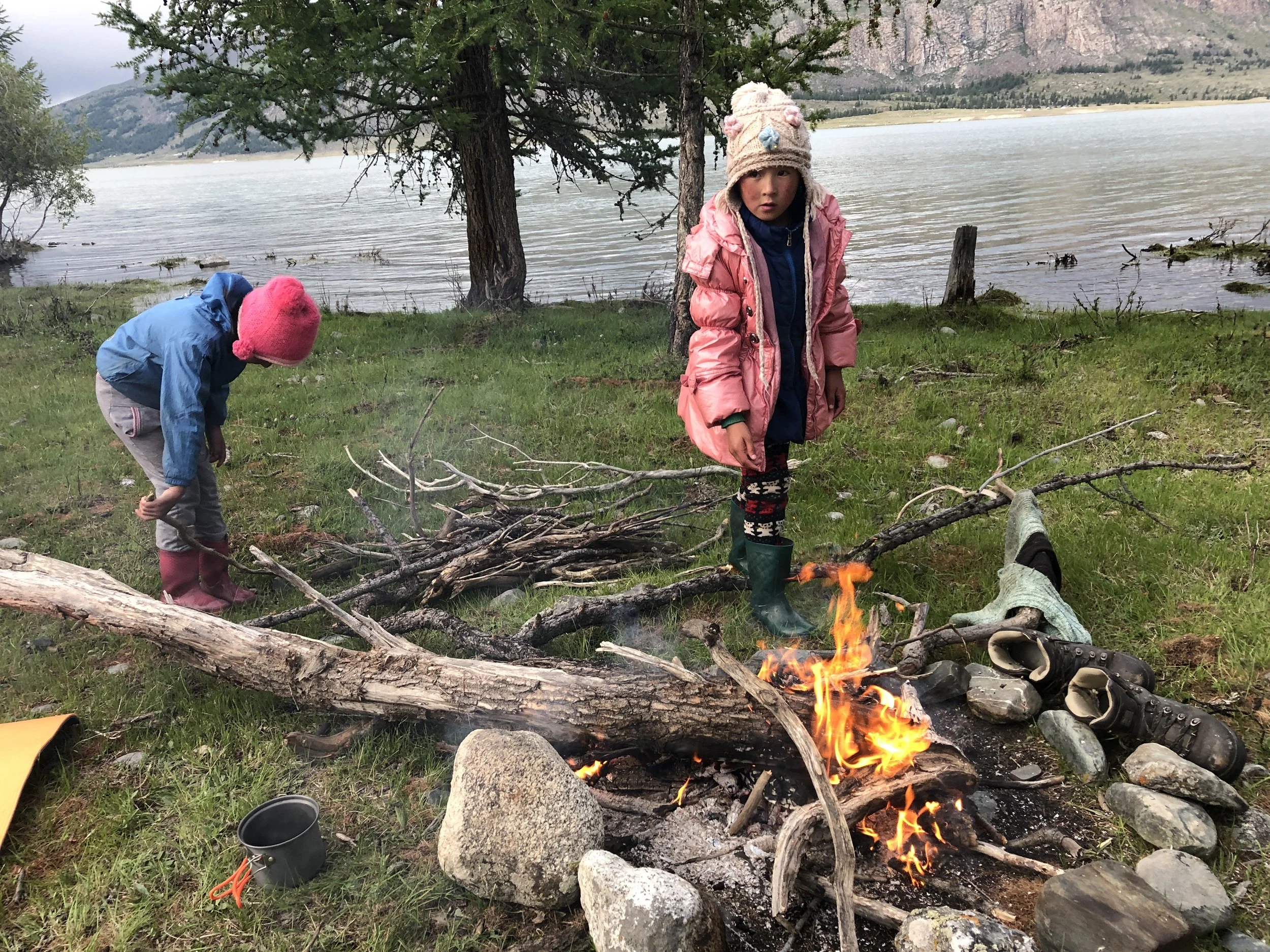
We set off early and continue walking along the edge of the lake, as close to the water as possible, regularly coming across herds of yaks, sheep or goats grazing. Occasionally, in the distance a couple of young children play in front of a 'ger' or yurt. Often local nomads are setting up or taking down their camps, or have cheese drying in the sun.
Walking on this side of the lake means walking through patches of fairly dense larch forest. We also walk through quite boggy terrain surrounding meandering creeks and brooks that empty into the lake. We have to cross many of these waterways by taking off our shoes and wading through calf high water.
There are times when to get across the delta-like network of streams emptying into one side of the lake, we have to take off our shoes and wade to sandy islands that deceivingly seem to offer a shallower place for crossing. Sometimes we just jump on the horses and let them carry us across.
In the mountains the weather can change very quickly and sometimes we have to hurry to get our wet weather gear out and scramble to take cover in between the branches of a small, bushy trees.
The second night is also beside the lake, much further north. We camp only 6 or 7 metres from the edge of the lake, the water laps the mossy pebbles all night while the moon and a warm fire makes it a very peaceful night. The fire is a great place to dry wet shoes - there is always plenty of firewood at this altitude.
DAY 3
I often have the best night’s sleep while camping and wake before sunrise to a faint, early morning moon suspended pearl-like above the lake, usually followed by a sensational sunrise.
We often meet Kazakh women and children as we walk away from the campground - they are very hospitable and often invite us in for tea, bread and dried cheese.
The third day is a bit more rigorous with some hills offering a welcomed challenge. It is just the right combination of warm sun and cool breeze for it too.
At the northern end of the lake, where the river flows into it from the mountain glaciers, we cross another long wooden bridge that takes us almost directly to the second ranger's station.
The ranger spots us from a distance and is already approaching on his motorbike by the time we reach the post.
Further north we leave the river on one side as we start to climb steadily up a large rocky outcrop fringed abundantly with juniper bushes and follow the clear path along the rocky ridge of a gorge.
With the added elevation come impressive views of the lake on one side and snow-peaked mountain tops in the distance on the other. It does not matter where we look, the views are magnificent.
We leave the wide open space of the valley to go into a gorge where the valley deepens and starts to ascend into the mountains.
We camp beside the fast-moving river, loud and powerful, at a spot that has been used as a campsite before; firewood has been left stacked on one side for us to find.
At the northern end of the lake, where the river flows into it from the mountain glaciers, we cross another long wooden bridge that takes us almost directly to the second ranger's station.
Further north we leave the river on one side as we start to climb steadily up a large rocky outcrop fringed abundantly with juniper bushes and follow the clear path along the rocky ridge of a gorge.
With the added elevation come impressive views of the lake on one side and snow-peaked mountain tops in the distance on the other. It does not matter where we look, the views are magnificent.
We leave the wide open space of the valley to go into a gorge where the valley deepens and starts to ascend into the mountains.
We camp beside the fast-moving river, loud and powerful, at a spot that has been used as a campsite before; firewood has been left stacked on one side for us to find.
DAY 4
Although the river is loud and the ground hard, neither deters us from sleeping well. It is one of the most magical spots on the hike, with the river foaming white as it races round the rocky bends, speeding past us roaring.
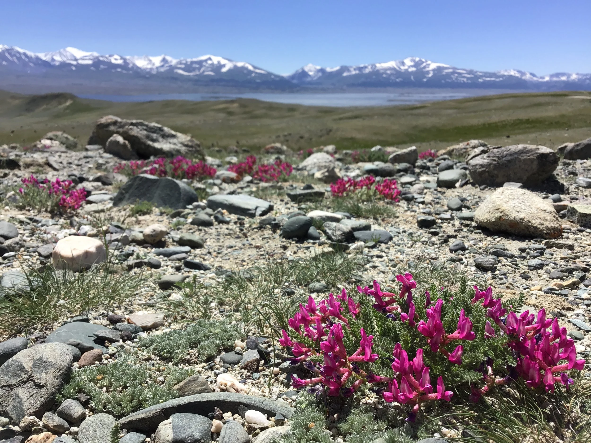
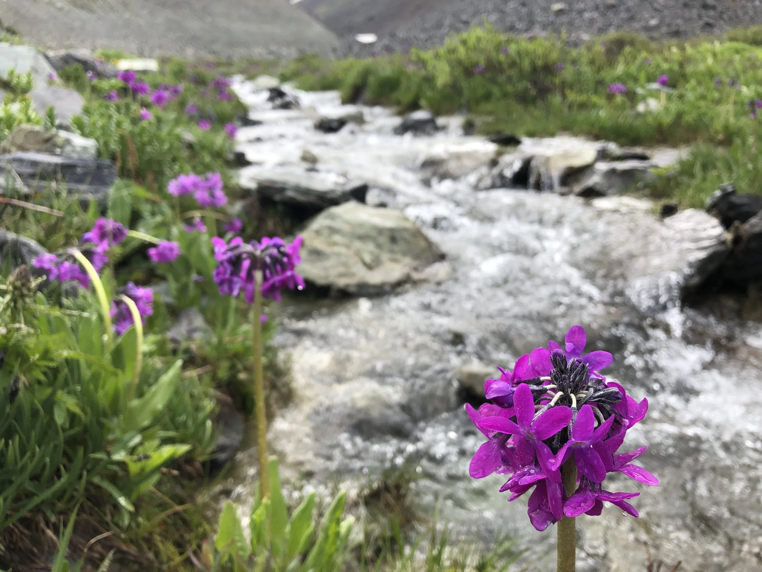
And yet, from the moment we set off, walking is more than wonderful that whole fourth day. Most people start to get into a groove, become comfortable with the weight of their packs, and start to fully notice, enjoy and appreciate the flowers and insects, the different succulents sprouting out of rock crannies, the sounds of kites, hawks and eagles, the scurrying land squirrels…
We continue to gradually climb. The terrain, a combination of arid gravelly paths over rocky outcrops, clear dirt tracks through patches of forest and bog like wetlands on the lower sections of the valley… fast moving streams cascade down the side of the hills around us and long and narrow waterfalls can be seen in the distant mountain sides.
We walk past a small lake surrounded by wildflowers and it feels like we are truly in the mountains. Walking over the wetlands keeps us alert, leaping over deceivingly shallow puddles to avoid drenching boots. Climbing becomes tougher and steeper, breathing quickens as we ascend above the valley and zig zag up the side of the mountain.
We are starting to climb towards 2,600 metres here and this is when we start to sweat and puff and feel the weight or our packs. We also cross the second widest stream. It is not so shallow, about 30 metres wide and its glacier water is bitingly, painfully cold. We have crossed on foot before but if possible we always choose to cross on horseback.
Once we get across the stream, we climb a few more hundred meters and camp once again, on the softest, warmest grass next to a narrow brook.
DAY 5
What a sublime view to wake up to and how tranquil is the sound of the brook whispering beside the camping spot. Squirrels and marmots are all around and we once even saw a Mongolian mountain goat - Capra sibirica - but they are too fast to photograph.
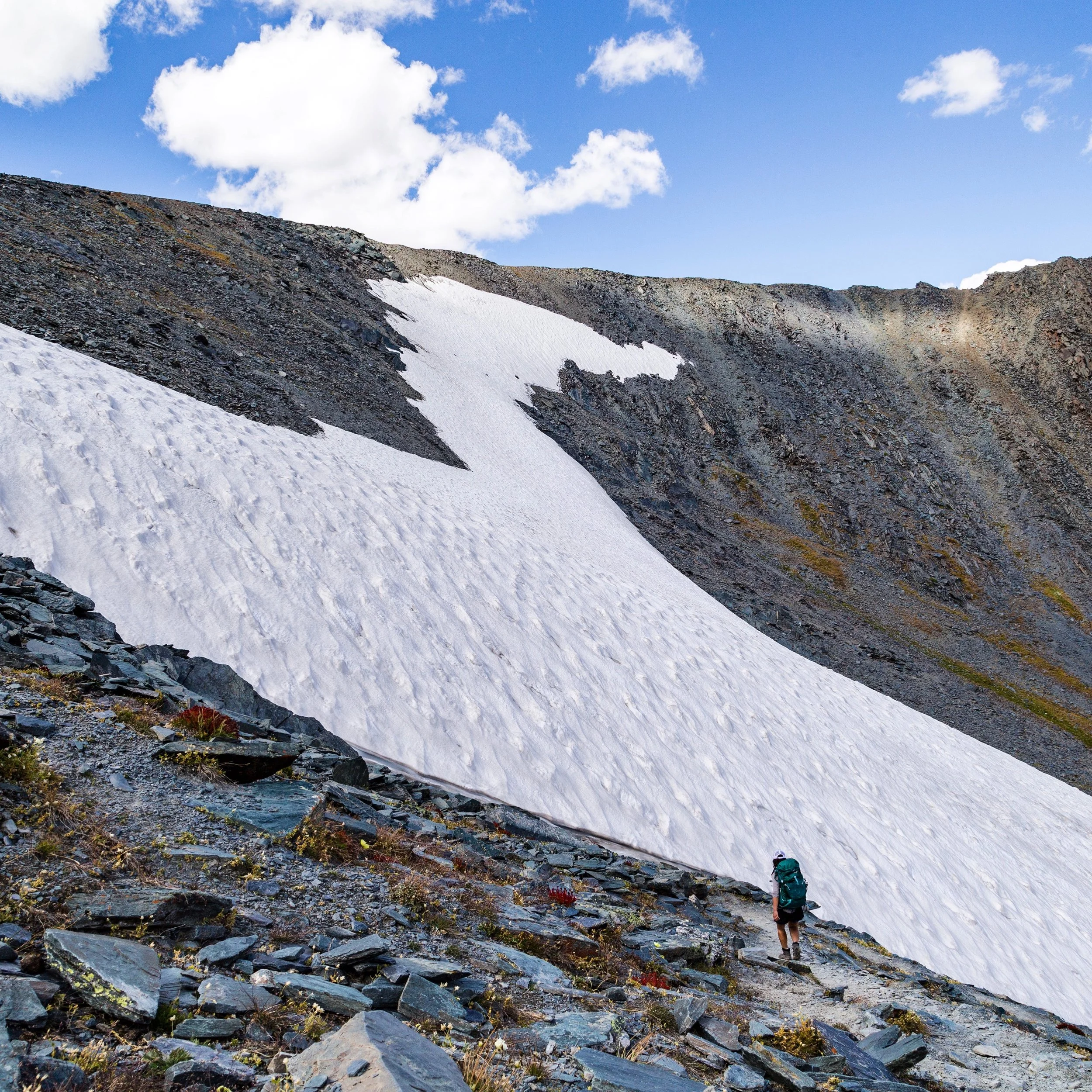
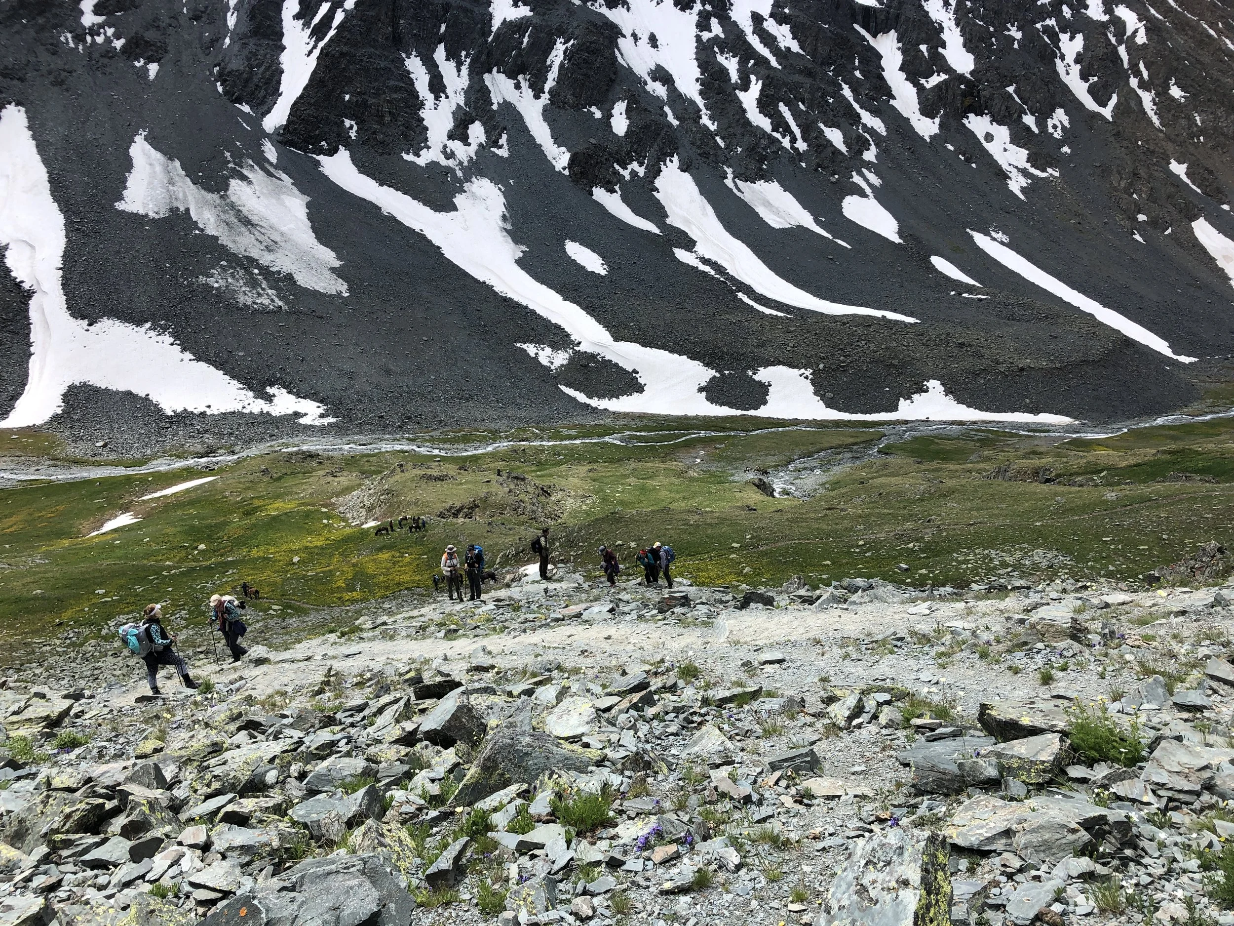
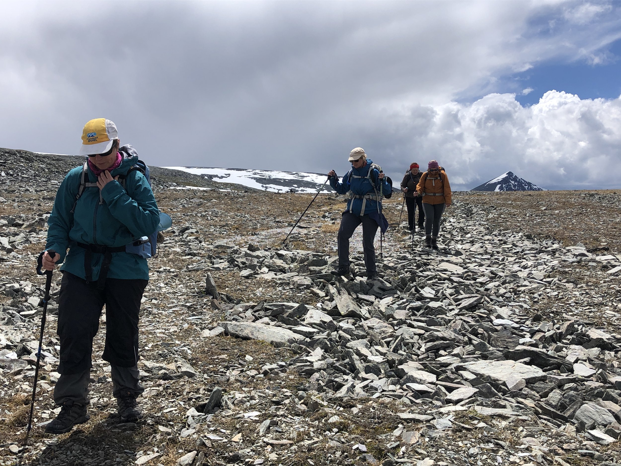
Day five is the toughest climb and altitude makes breathing short and fast, but the views keep getting more and more magnificent as we reach the 3,400-metre pass. The ground up here is covered with chunks of black and grey slate and the sharp chilly wind is offset by the bright, warm sun, and being surrounded by a 360 degree views of the top of several peaks and smaller glaciers.
All around are mountain edges, shrines, the river flowing in the distance, glaciers, changing terrain & wildflowers. This is a breathtaking and very dramatic section of walking; a sensory overload from every direction.
As we descend to the valley, we can sometimes see the activities of nomadic Tuvan herders. We can see nomads fixing a truck, or checking on the drying goat skins spread like offerings outside a ger. Or a team of men and women finishing a day of grass cutting (using scythes) and packing it tight into the back of a truck.
DAY 6
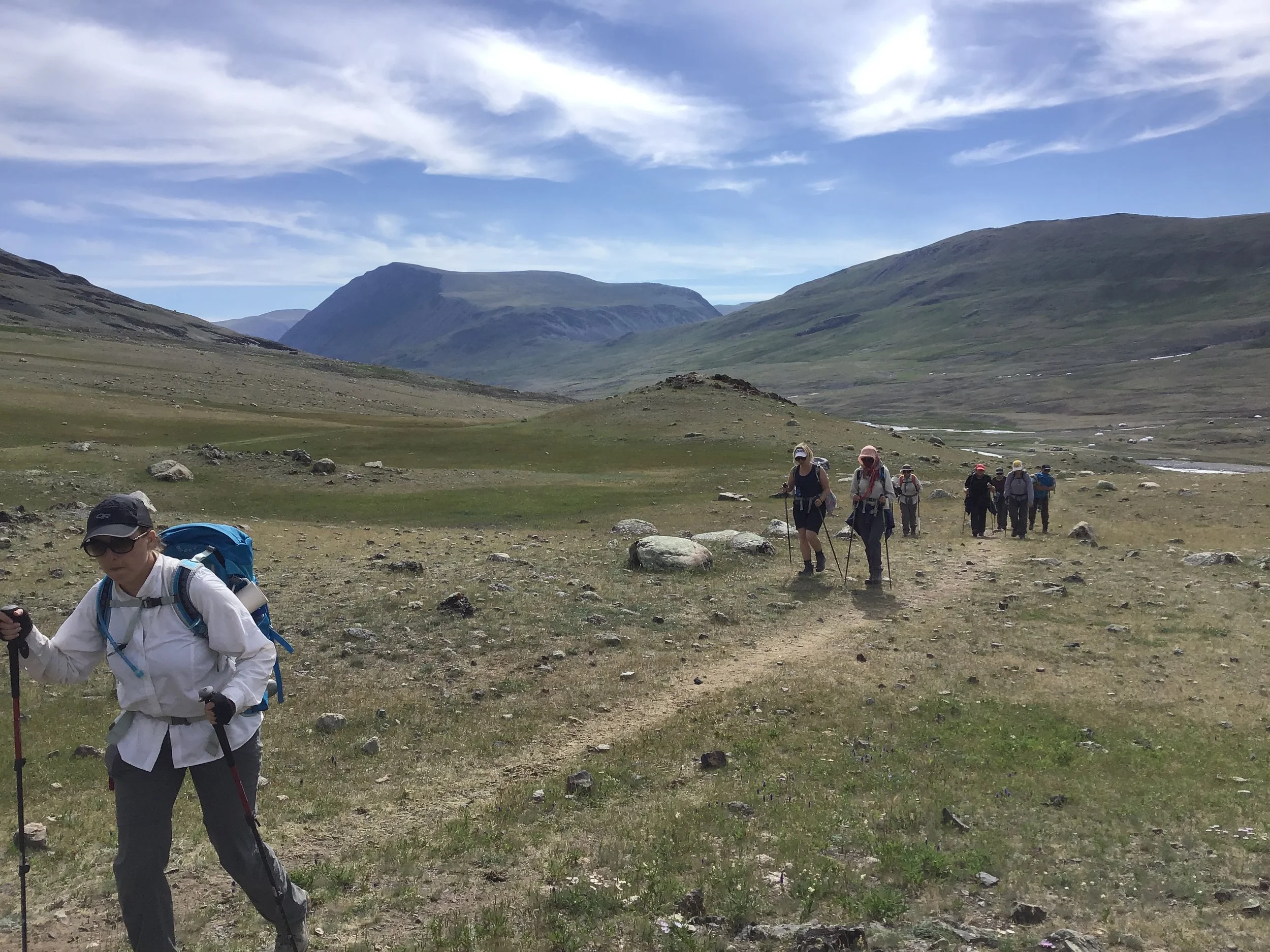
Today we walk under the bold and vivid blue of the sky, over the summer green & yellow hues of the grassy slopes and with the murmur of the distant river in our ears. Occasionally, a rabbit, a marmot or a land squirrel scampers in front of us, looking for their underground shelter; wildflowers abound.
Before turning north towards the next pass and our final destination, we go off the path to a rocky outcrop where ancient petroglyphs are found. These rock carvings are evidence that these mountains were inhabited at least 10,000 ago.
Once over the pass, the descent to the Tsagaan Gol River is steady; the slope growing steeper as we approach the raucous rushing water.
The Tsagaan Gol River, also known as White River, is milky white from the sediment and silt it carries from the glacier. This part of the National Park is also one of the most popular entries. Many people arrive directly here by 4WD and day-hike up to the base camp then return to camp near the river. Another ranger meets us here and checks our permits.
On all the other camping spots we are alone, here there are usually a few groups, depending on the time of the year. It is a place to have some social contact and to rest before the final ascent to basecamp.
DAY 7
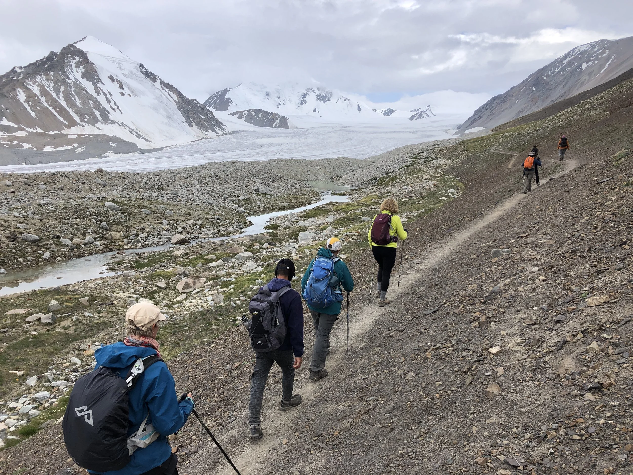
The ascent from the river camp up to the base camp and the Potanin Glacier is steep for about 1 km, then it steadily rises to over 3,000 metres. The ground is boggy at times, with squelching, muddy sections to manoeuvre.
The five sacred peaks get closer and closer. It is all about the journey, of course, but it is an awesome feeling when you finally get a clear, sharp view of the destination.
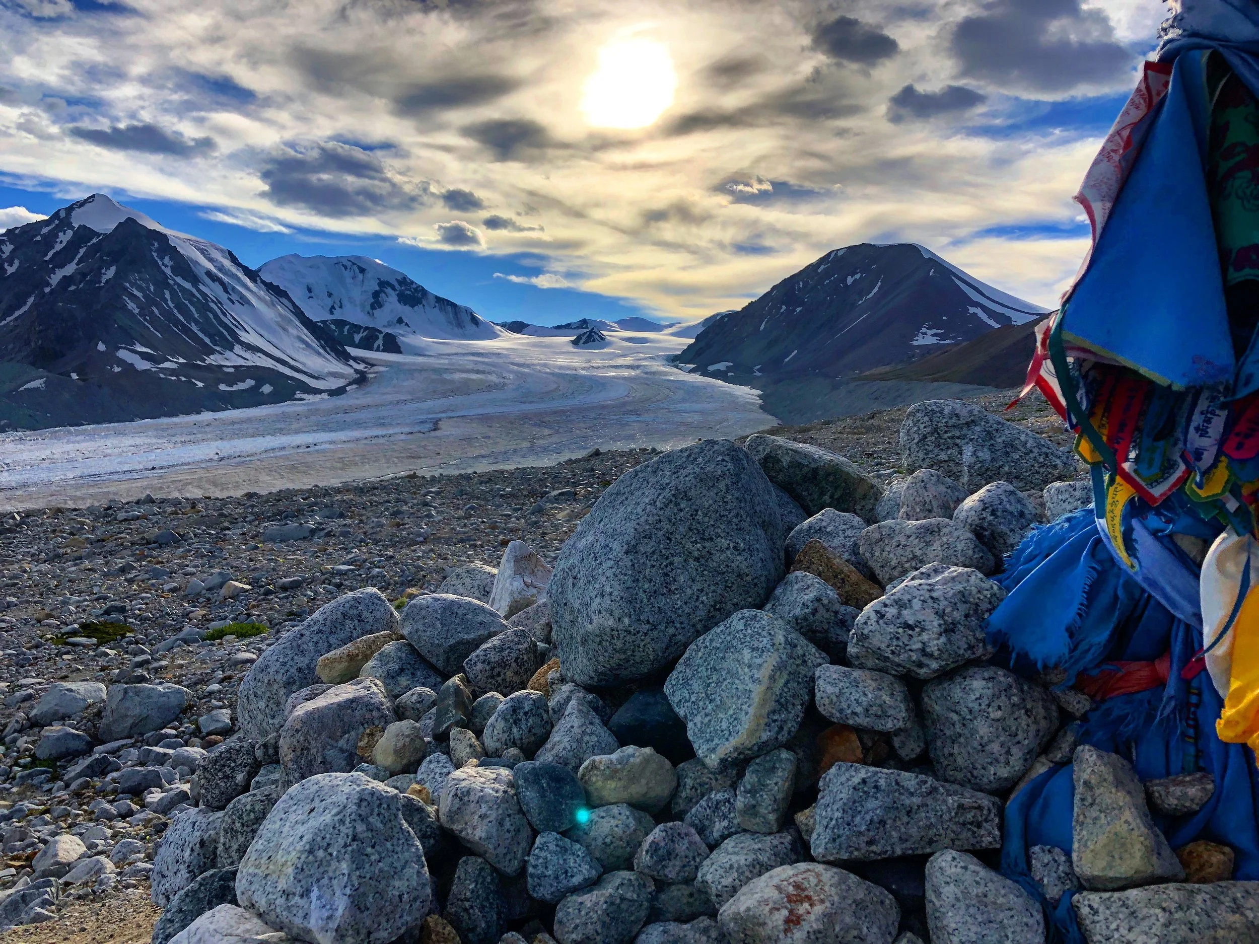
The basecamp above the glacier is where most people camp. The Potanin Glacier is the longest in Mongolia stretching for over 14 km through the Altai Mountains into Russia. Sadly, like many other glaciers around the world, the Potanin Glacier is decreasing in size at approximately 11 metres a year.
In the evening, the sky can really put on a show that no photos can do justice to it.
DAY 8
Waking up to the 180 degree view of the five sacred peaks - Nairamdal, Burged, Ulgii, Malchin, Khuiten and the Potanin Glacier below is one of those moments that gets etched in the mind to be recalled many times over, years after it has passed. It is a moment that holds power, mystery and beauty.
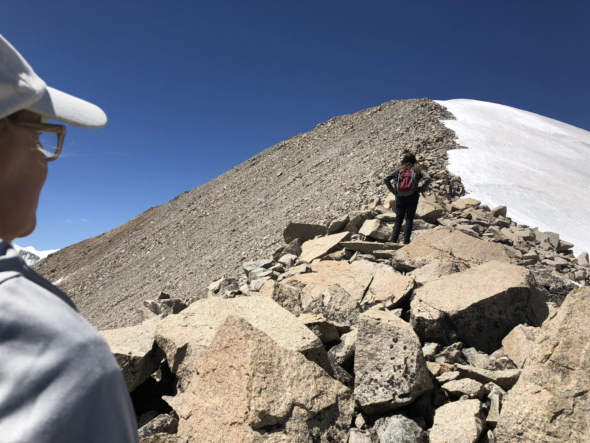
On day 8 some of us climb up Malchin Peak, the only peak that does not require equipment or experience in alpine climbing. It is far from easy though. First, there is the 5 km walk to the foot of the peak.
Then there is the tough walk uphill, at altitude. It requires stamina and patience as we very slowly walk up the slippery and loose scree. The ‘marked’ path is often not clear and the weather changes several times during one day. There is scrambling over boulders, slushing through wet snow and slipping backwards on the loose scree. And then, after a few hours, and a hundred stops to catch your breath, there it is!
The peak and the 360 degree views of extraordinary panoramas that make me pinch myself every time.
We don’t stay long at the summit, it’s windy and usually cold and we still need to get back down and walk the 5 km back to basecamp. It’s a long day and not everyone is up for it, but if you are, it’s worth it!
DAY 9
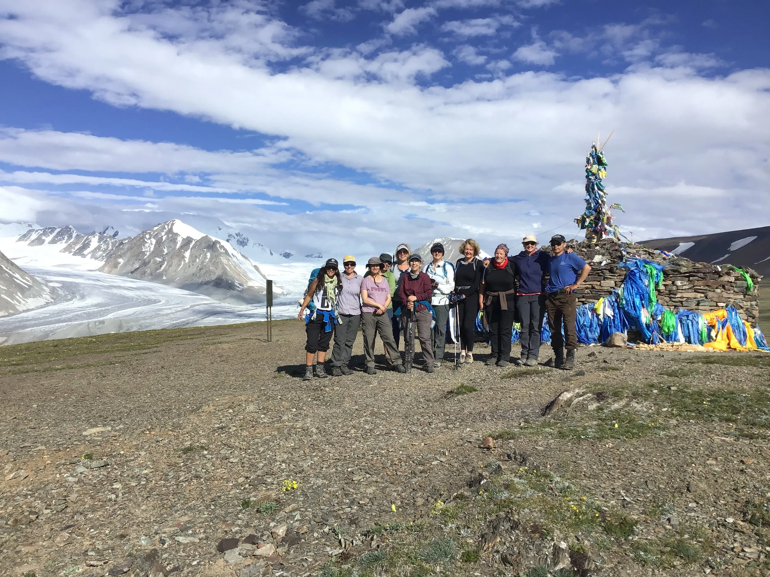
About two kilometres after leaving basecamp there is a large shrine or ‘tobo’ where Mongolians - Buddhist, Muslim or not - leave offerings to the spirits of the mountain. Biscuits, juniper, prayer flags, money and even animal sacrifices are left and prayers sent high up into the mountain deities.
From this spot the glacier the 5 sacred peaks are clearly visible for one last time before we start to head to the northeastern entrance to the national park.
There is one more stream to negotiate, before reaching the ranger’s post, but this is usually shallow and although still icy, it is very easily managed.
There is a feeling of sadness on this last day and as we make our way back through the Mongolian countryside to Ulgii I am always overcome with a feeling of great achievement and fulfilment, as well as gratitude for having witnessed such pristine wilderness.

