
When I walked in the Fitzgerald River National Park (FRNP) for the first time, I didn’t know much about it at all. I didn’t know that it was home to almost 20% of WA’s plant species; I didn’t know that it was a UNESCO listed biodiversity biosphere and a natural treasure; I didn’t know that the Ravensthorpe Wildflower Show attracted thousands of visitors from all around the world during its annual two-week event in September; but most of all, I didn’t know that it was going to blow me away!

West Mt Barren in the distance...dirt road leading to Point Anne on the west side of the National Park
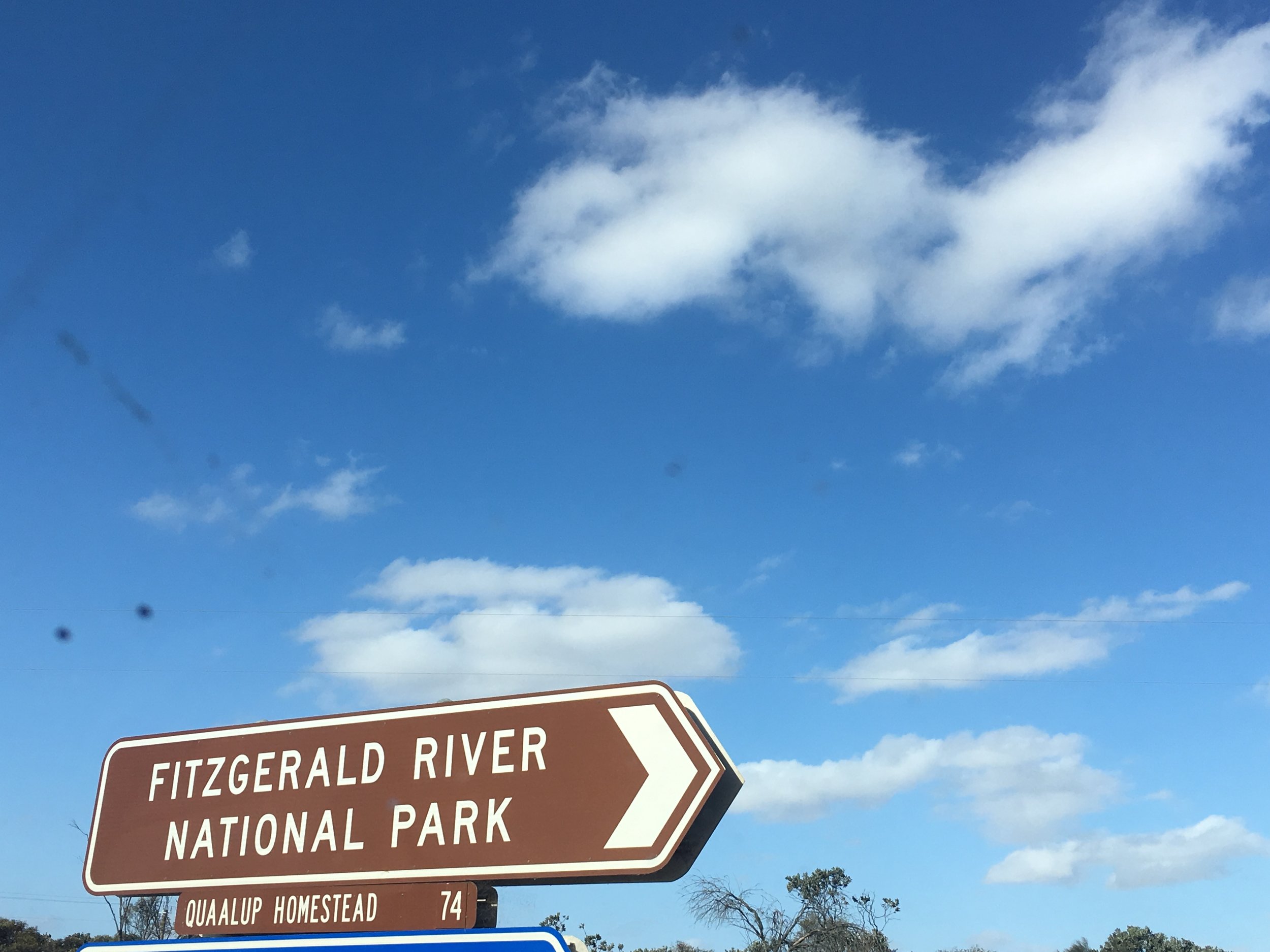
After five hours' driving - the FRNP is about 460 kms southeast of Perth on the Great Southern Highway (route 120) - we passed Jerramungup, a town on the northwest edges of the National Park. Not long after, we turned off the South Coast Highway onto Quiss Road, a dirt track heading towards Point Anne on the St Mary Inlet, for our first night of camping.
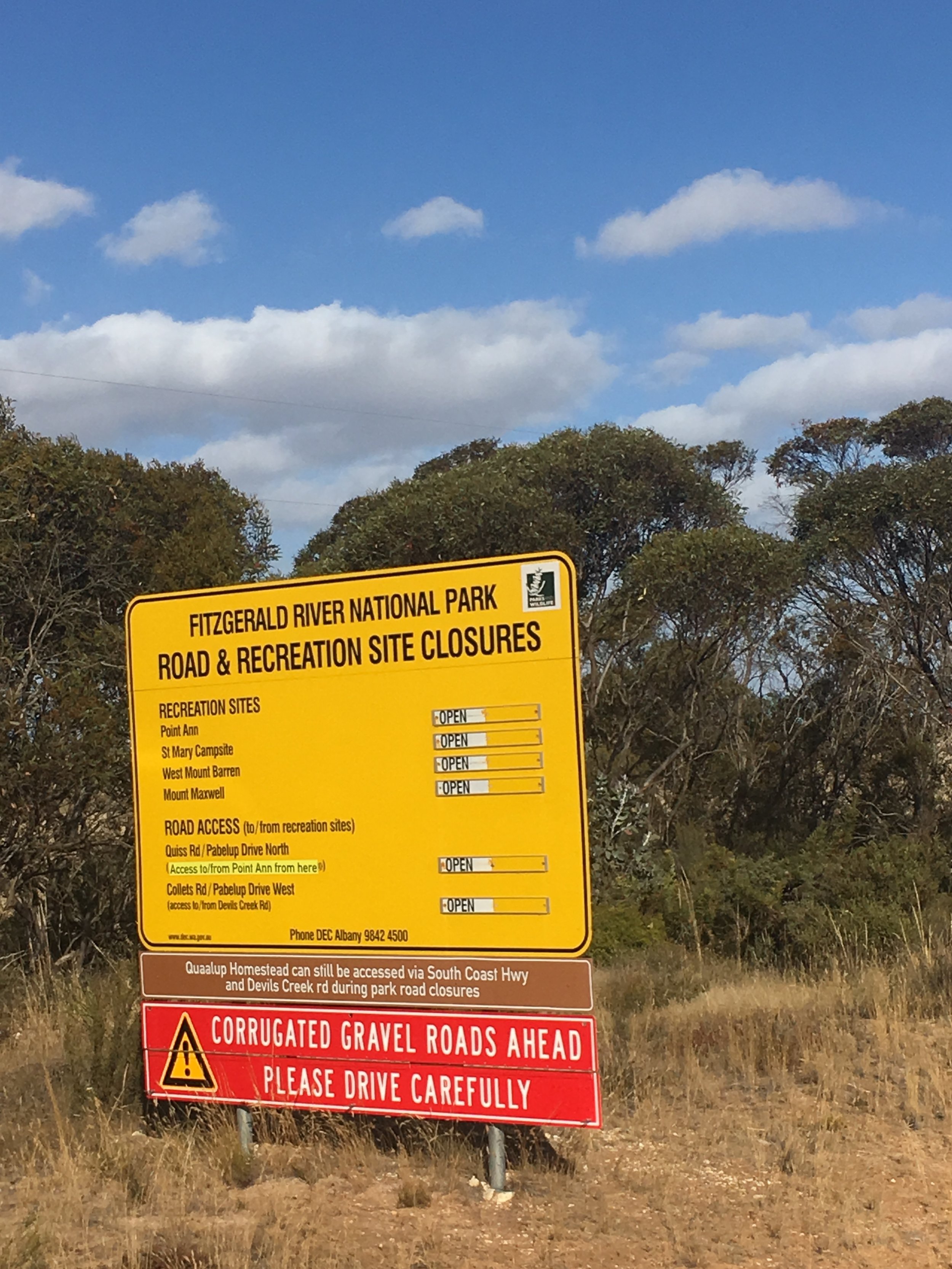
Only a short distance past the signage warning us about the extensive corrugation on the gravel road, we begun to notice the bursts of colour in the surrounding bush. At first, it was the scandalous yellow of flowering Eucalyptus lehmannii and the soft purple pom poms of Melaleuca nesophila that made us smile.
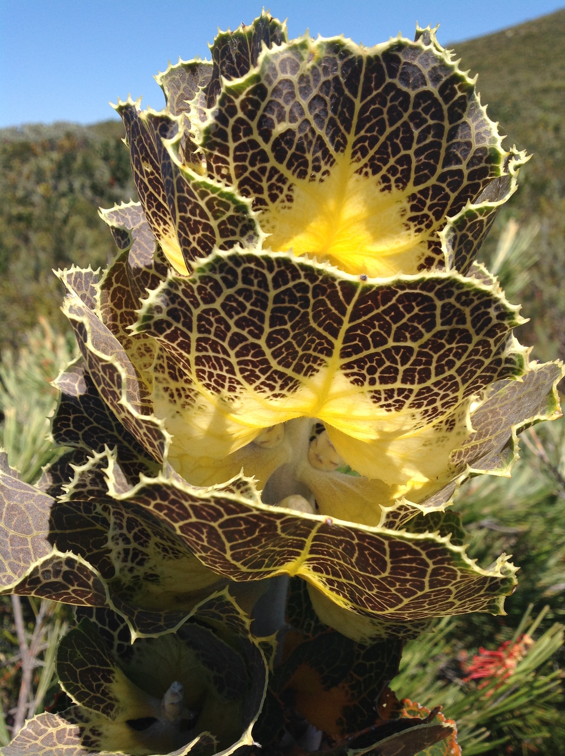
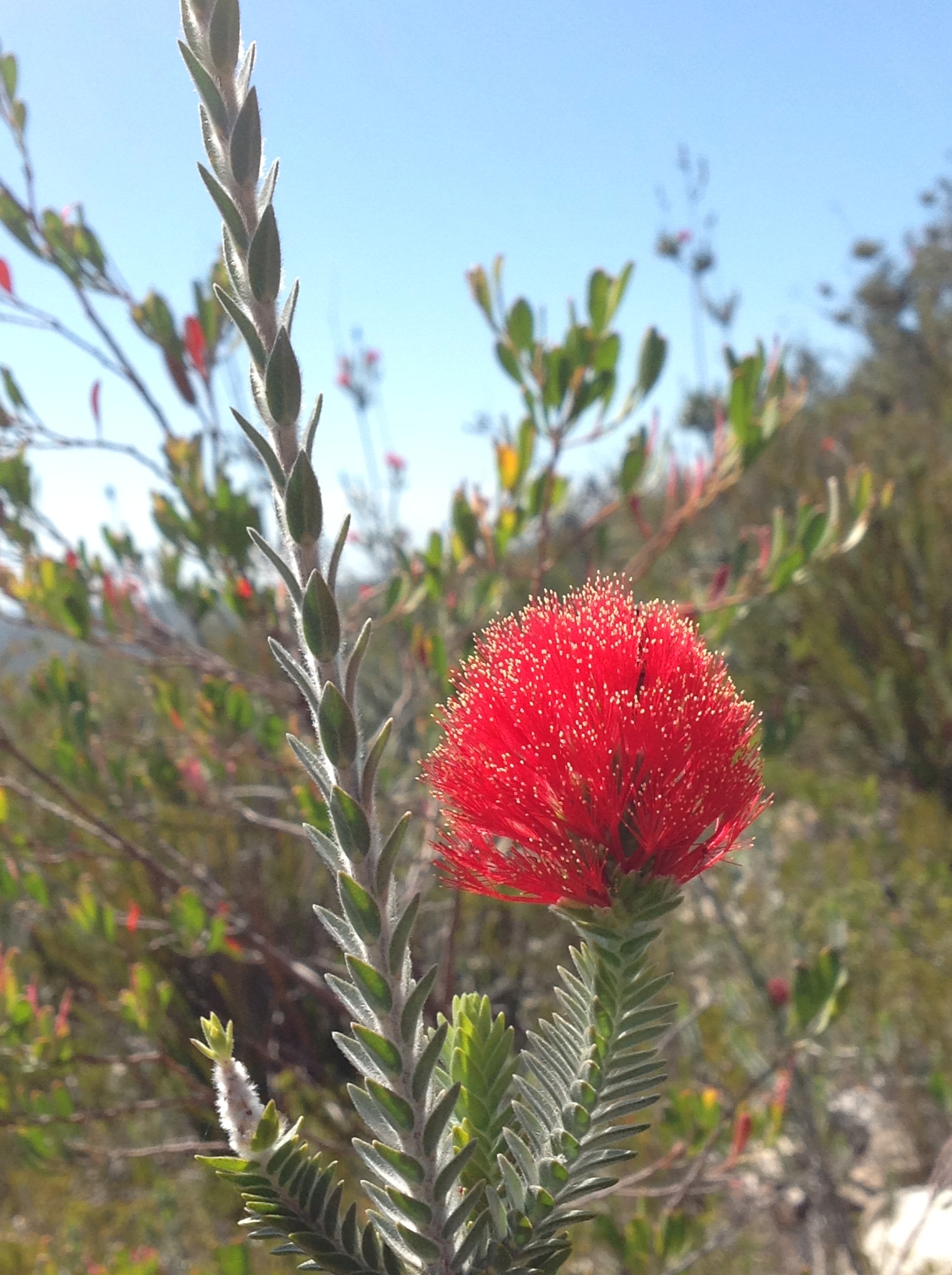
Then the tall structures of the Royal Hakea (Hakea victoria) drew our attention; its changing colour scheme and distinctly veined, hard leaves, really stood out, sculpted against the piercing blue sky. I stopped the car, got out and squealed. I'd never seen them before!
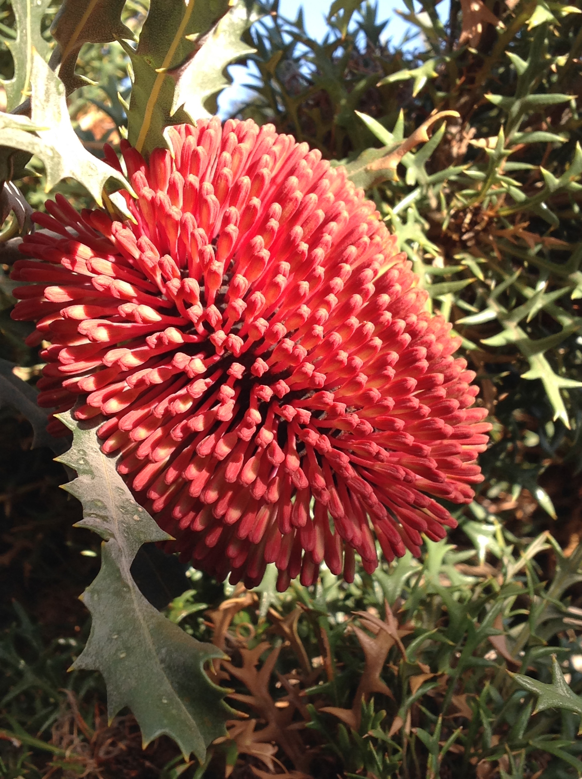
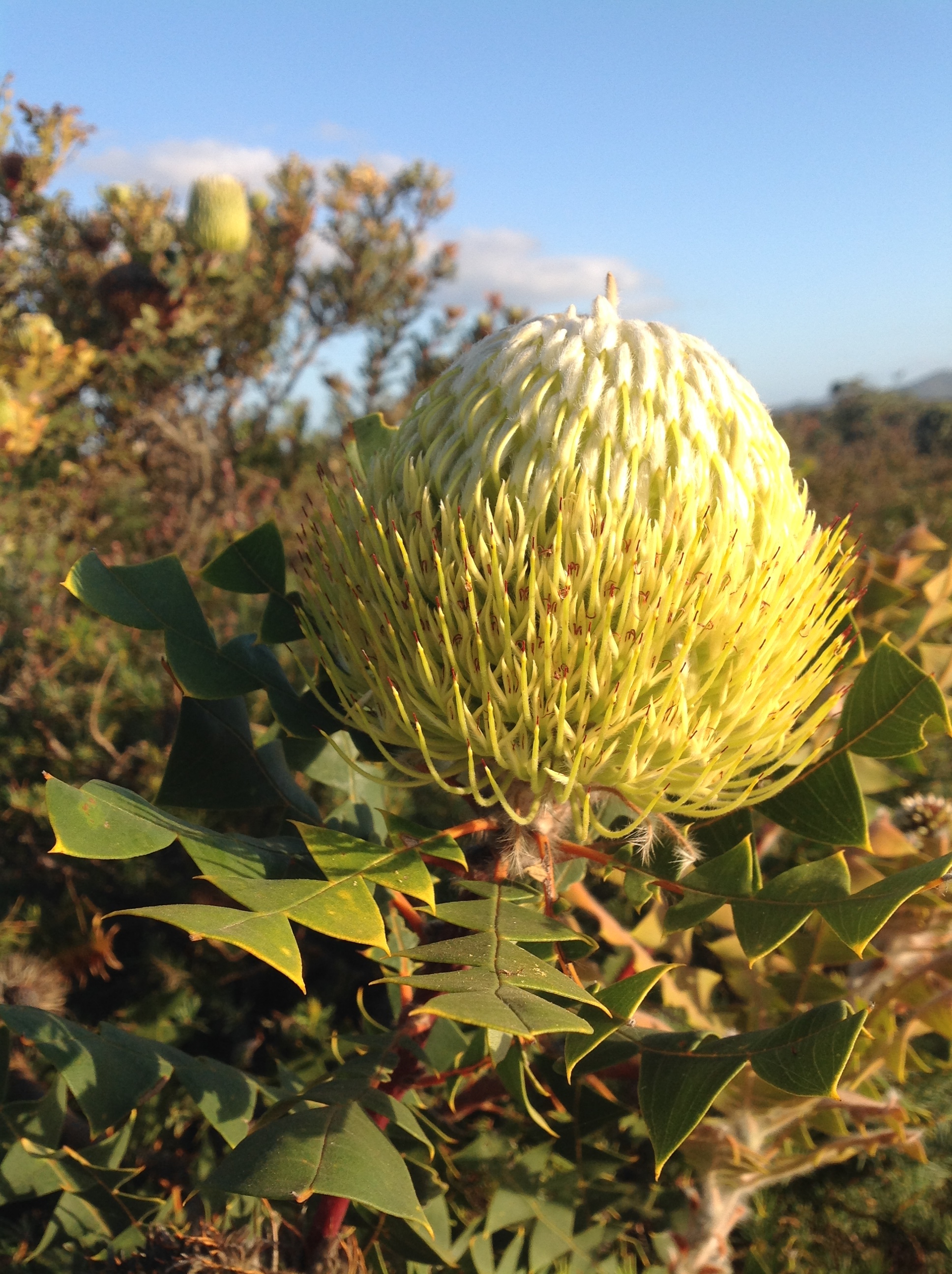
Suddenly there were banksias everywhere: Banksia lehmannia, coccinea, baxteri, caleyi (I had to look a couple of them up). It was the end of December; I had not expected to see so many wildflowers!
Not surprisingly, it took us almost 2 hours jumping in and out of the car, to travel the 66 kms to Point Anne.
The St Mary campsite has twelve official spaces for campers, tucked in next to the inlet. When we arrived on December 28 these were all full. Undeterred, we camped on soft sand, under a paper bark close to the inlet. It was too late to go somewhere else and we were planning to be up and packed before 7 am to hike the Mamang Trail.

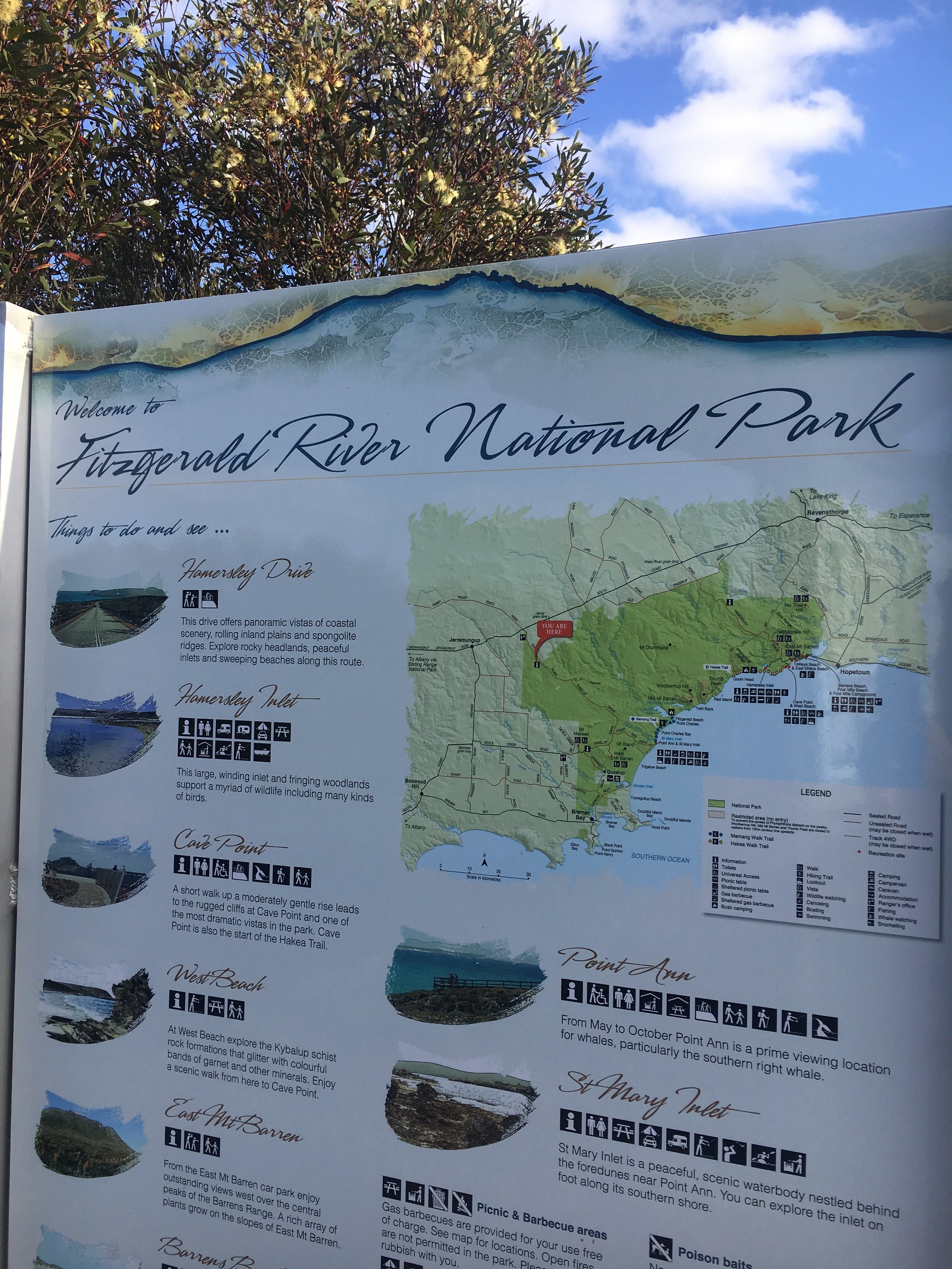
1. The Mamang Trail follows the coast from St Mary’s Inlet, ventures inland and all the way to Point Charles and the Fitzgerald River Inlet - one of the four river systems in the national park. The whole trail is over 30 kms and goes through pristine bushland and rugged coastline. We only walked half, looping back after reaching the Hakea Lookout, a few kilometres after Nameless Lake.

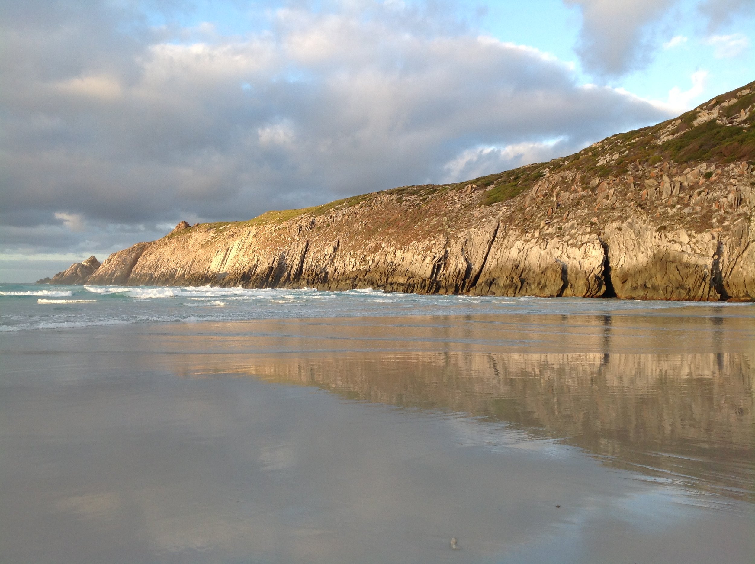
Nameless Lake ... West Mt Barren in the far distance...Royal Hakea in the foreground
We walked the last 4 km barefoot on the firm wet sand, alongside the turquoise waters of the Southern Ocean. Rocky clusters of jagged, black slate-like boulders accentuated the bends of the south-east facing beach. Mamang is Noongar word for whale: between June and October Humpback and Southern right whales can be seen from this beach. Ahem...there is no filter on that blue sea and sky.

We left Point Anne that afternoon and drove across to the east side of the National Park and camped at the 4-Mile Beach campsite, just outside of Hopetoun.
I wanted to catch up with Tim Flanagan, the 80-year-old retired farmer who planted the seed of the Fitzgerald River National Park in my mind while we had walked together on the Cape to Cape. He lives in Hopetoun with his wife Eva. I had not had time to email or formally announce that we were coming, so imagine the delight when, not more than 1 minute after arriving on the main street of Hopetoun, we saw Tim walking out of the bakery!

Tim Flanagan - retired farmer, Hopetoun local, avid walker and, oh yeah, 80 years old... seen here blazing up East Mt Barren.
2. East Mt Barren was our next hike with Tim providing great company. You can drive and park at the start of this well-signposted, very accessible hike. It is 2.6 kms to the summit with some steep sections and rocky scrambles; the view from the top is divine. You can see all the way to the eastern Barren Ranges and the central part of the National Park. The whole trail was adorned with bright red Barren Regelia (Regelia velutina).


Sharon, who also became a friend after walking on the Cape to Cape with Edgewalkers, is enjoying the view east towards the Culham Inlet near Hopetoun.
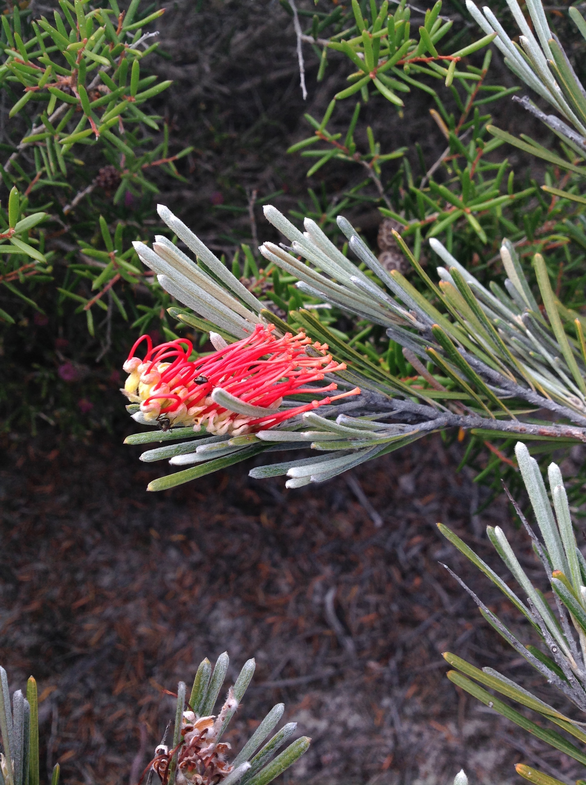
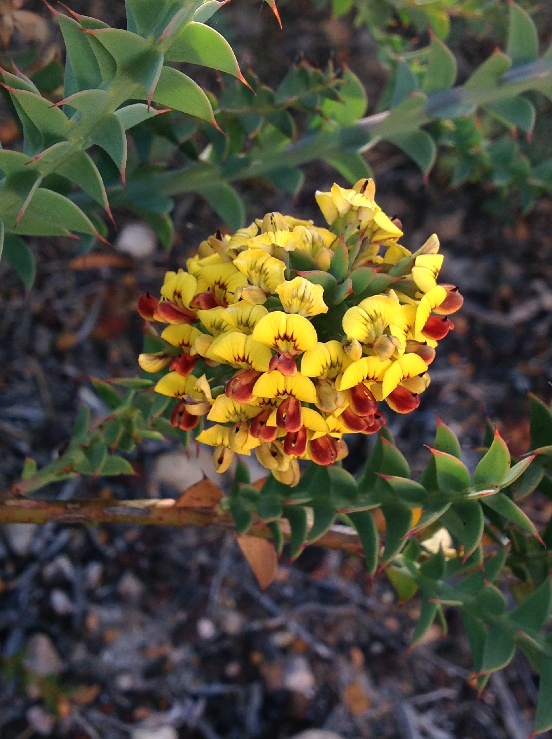
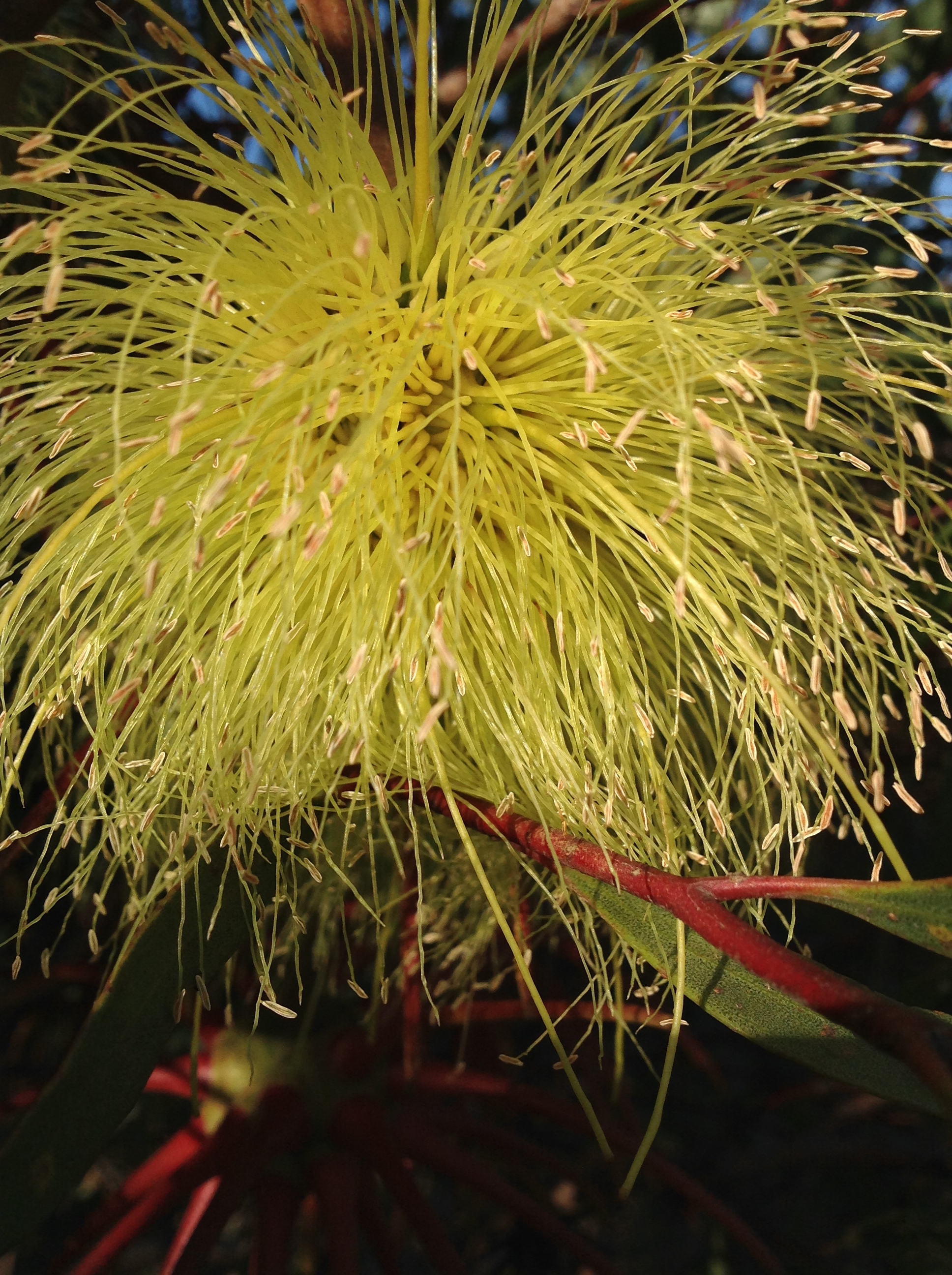
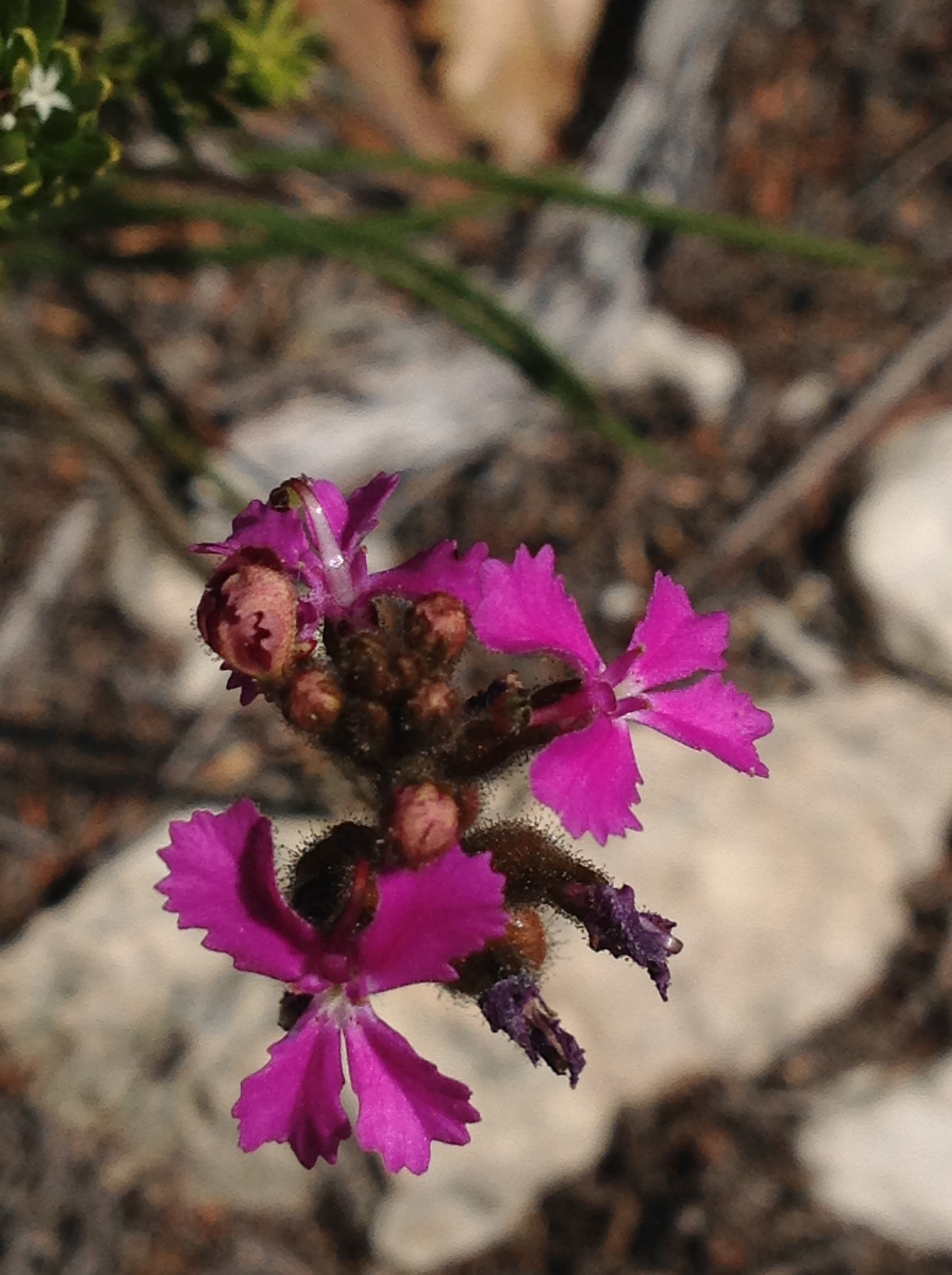
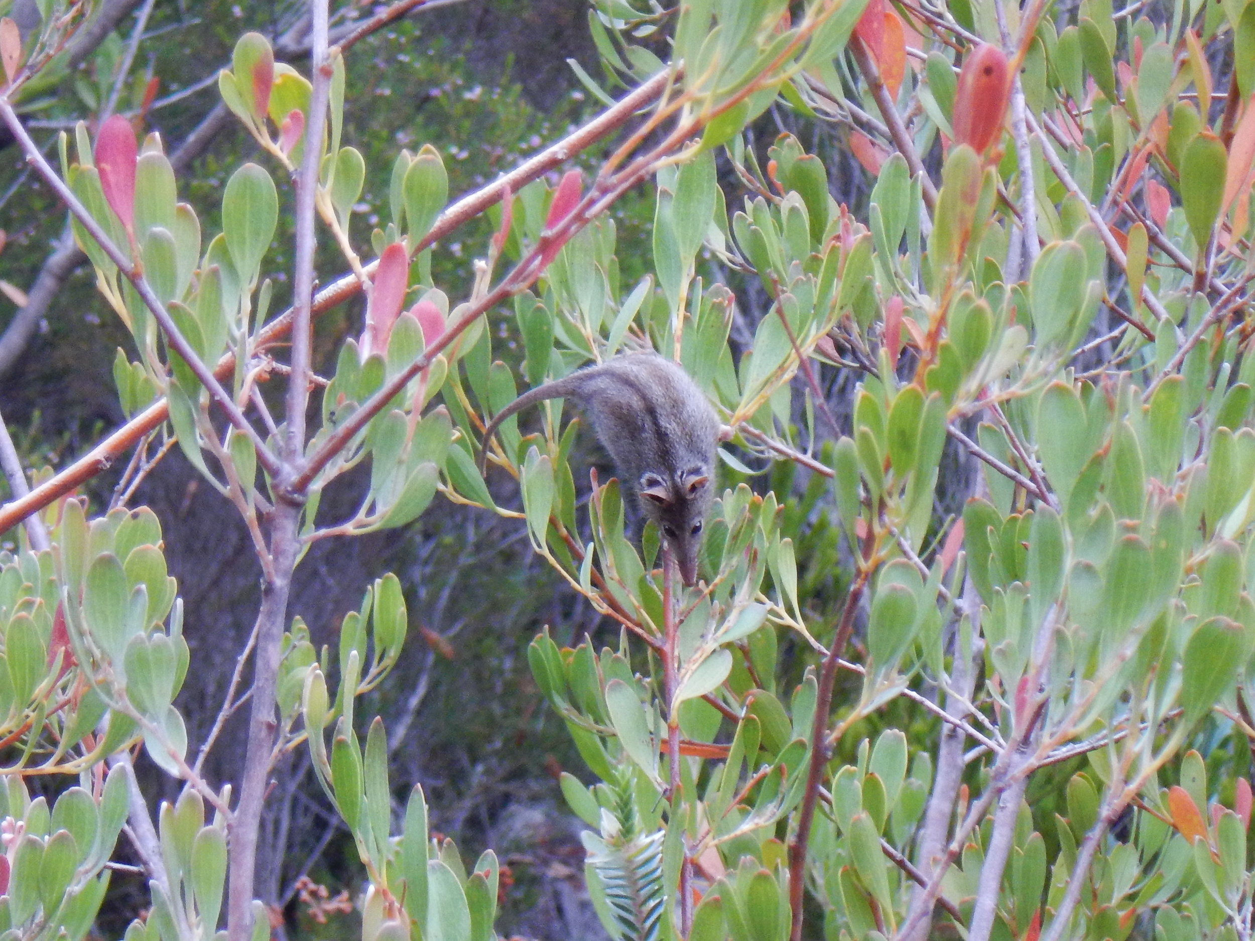
3. The Hakea Trail was our third hike this trip. The historic trail starts at Cave Point and goes all the way to Quoin Head for a total of 46 kms return. We started at the Hamersley Inlet and walked about 9 km to Whalebone Beach. The ground throughout the National Park is a combination of rusty red lateritic soils over a kind of sandstone that dates back 30 million years to when the whole area was underwater - it's great terrain to walk on. The wildflowers, even at this time of the year, were abundant: Grevilleas, Bottlebrushes, Honey Myrtle, Trigger plants, Lilac Hibiscus, Dainty Featherflowers; it was just a smorgasbord of colour and shapes, with a constant view of the Southern Ocean as we made our way west.
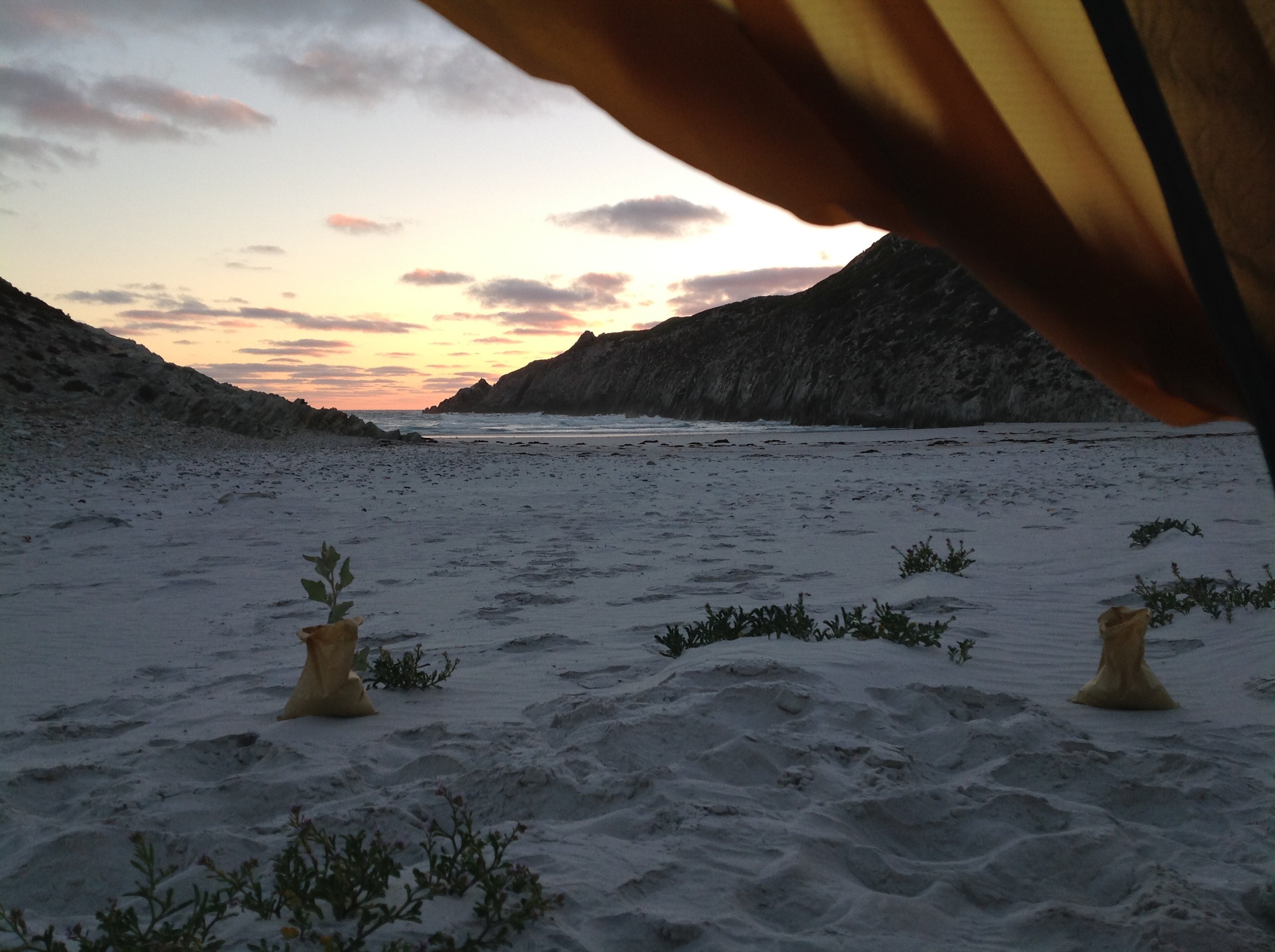
Although there is a well-maintained, world-class hikers' hut with a drop toilet and water tank, we decided to camp on Whalebone Beach where we saw osprey and other birds. Waking up here on the first day of the year was nothing short of magic.

We left our gear in the hikers' hut and walked to Quoin head over the rugged coastline, with expansive views of the Southern Ocean, coves, inland peaks and, of course, Royal Hakeas.

Whalebone Beach Hikers' Hut - Fitzgerald River National Park

Quoin Head...there is a campground there also, accessible only by 4WD

On the way back I could not stop thinking and planning how I was going to include this extraordinary place into our Edgewalkers program. Although it is a bit of distance away from Perth, it is worth every minute of the drive. There is nowhere I have been that offers so much diversity in flora and fauna; I was not surprised to read that it has the largest number of birds, frogs and mammals than any other southwest national park. If this is what it is like in December, I cannot wait to see what it will be like at the height of the wildflower season in September - October.
